Mountain Biking Forest Above the Kaena Point Satellite
Tracking Station
Sunday 19 June 2005
My computer sez: Rolling Wheels Time: 1 hr 8 min 15
sec (1.14)
Mileage: 7.87 miles
Avg Speed: 6.9 MPH
Max Speed: 24.6 MPH
Weather: Overcast to partly cloudy w/ widely scattered sprinkles, mid
80ish F
Route Improvement: 0.8 MPH faster than prior
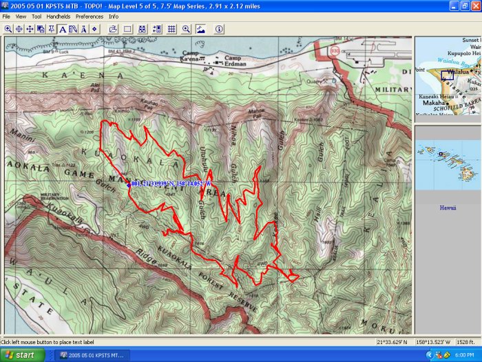
Route: approx 7.75 mile loop beginning and ending about
1/2 mile into Area A Public Access above the Satellite Station. Travelling:
Northwest to East to South to West to North
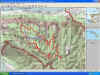 map is actually from the same rte ridden last month.
When: Su 19 June Fathers' Day wheels rolling about Nineish
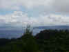 Beautiful view of da Point
Who: Dan, Carol, Debz (Thx for Breakfast), Devin and Pete
Why: We have to get the Mountain Bikes dirty sometime
Blood: Yes. 1X Doubletrack slideout w/knee bashed on rock
1X Paved access road flying downhill around turn too
hot.
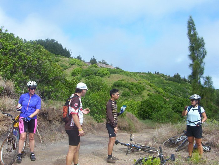
 rest time
Injuries requiring attention:
None
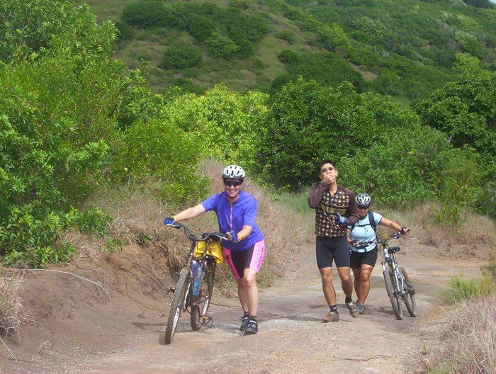
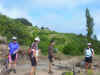
 Carol's amused by something, Devin's Sleepy,
or hungry, Debz a wonderin' how many more hills
Fun: Yes
 Pete getting da point acrossed--no you may not go bombin' down ze hill t'words
da beach.
Pete getting da point acrossed--no you may not go bombin' down ze hill t'words
da beach.
Back
to Home Page
 map is actually from the same rte ridden last month.
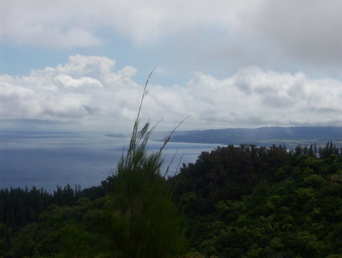 Beautiful view of da Point